MAPPING FLOOD PROTECTION ZONES AND EVACUATION ROUTES TO IMPROVE RESPONSE CAPABILITIES IN LOCAL COMMUNITIES
(A case study of Ifakara Town Council in Morogoro region, Tanzania)
This project aimed to enhance disaster preparedness and community resilience by mapping flood protection zones and evacuation routes, thereby improving the local response to flooding. As climate change increases the frequency and severity of floods, the project implemented a proactive approach to disaster management, helping communities plan, anticipate, and respond effectively.
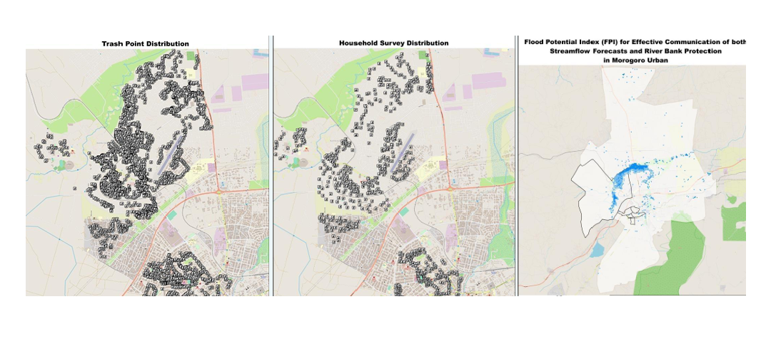
Using spatial analysis, citizen engagement, and hydrological modeling, it identified vulnerable areas and developed a strategic evacuation plan in collaboration with community stakeholders. The aim was to provide a practical guide for local authorities and emergency responders to strengthen community defenses and readiness.
This Projects Achievements:
- 30,000+ Buildings Footprints
- 150+ Km Road Network
- 6000+ Residents Surveyed
- 4 Flood protection zones developed
- 10 Evacuation routes designed


