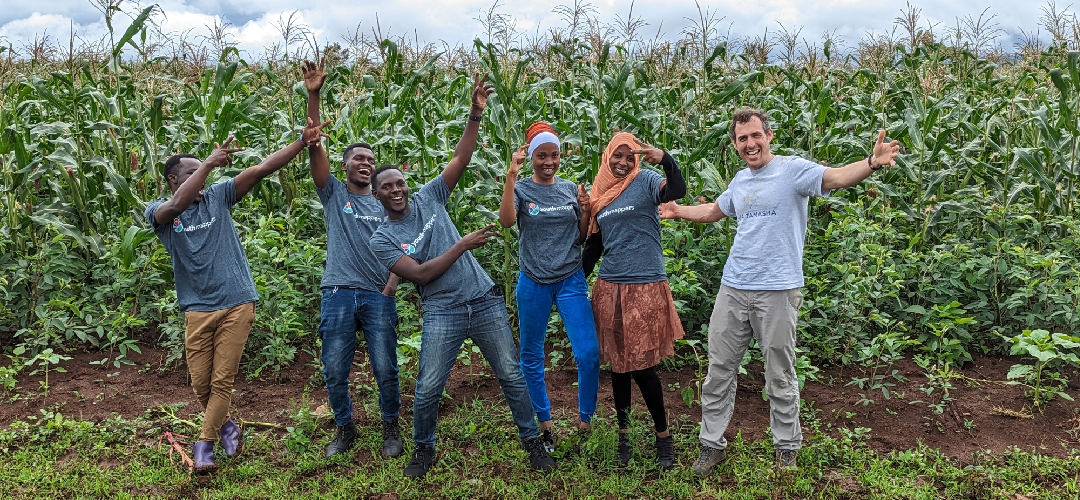
Crop Identification Pilot Project
(Mwanza, Dodoma, Arusha Tanzania)
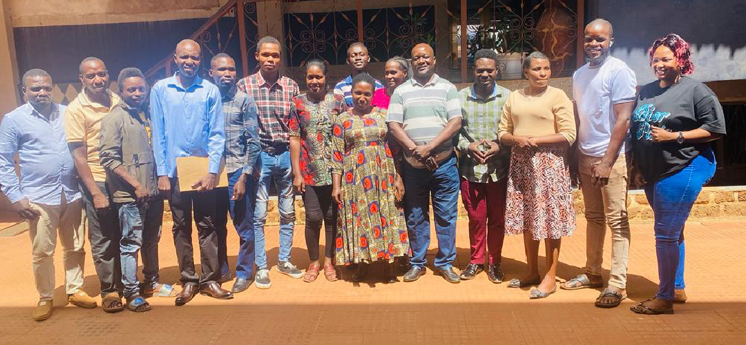
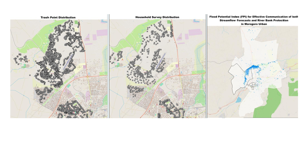
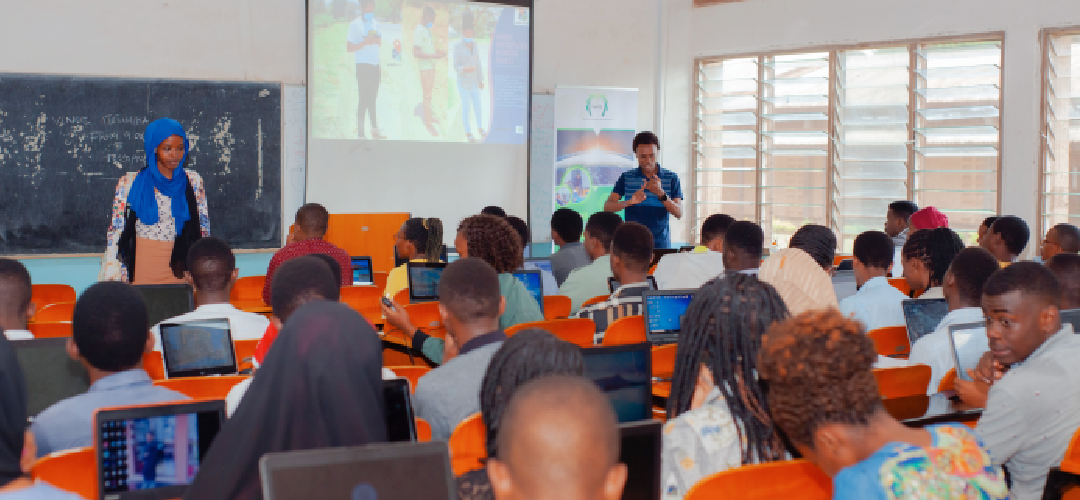
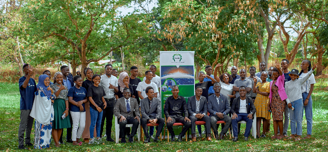
This pilot project, led by YouthMappers and funded by USAID and the U.S. Department of Agriculture’s Foreign Agricultural Service, engaged university students in Tanzania to collect grassroots agricultural data in the Arusha area. Supported by local organizations including OpenMapDevelopmentTanzania (OMDTZ) and GeoTE, the data enhances satellite imagery analysis, strengthening community agricultural systems and improving crop condition assessments. For more information about this project, please write to info@youthmappers.org
This Projects Achievements:
- 22 YouthMappers Chapters Involved
- 1000+ Crop Datasets
- 5 Remote Mapping Projects
- 5 Variables
